This blog post is part of a series: you may want to read Part 1, Part 2, Part 3, Part 4, Part 5, and Part 6 first.
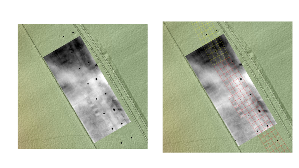
We now have, for the very first time, an accurate mapping of the 1934 excavation cuttings that can be used to locate the various features and finds that Keiller and his team excavated, recovered and recorded. There is still work to do. As you will see, these are the basic cutting shapes and as a result all of the various extensions and alterations I talked about in blog post 5 will need to be added in due course. But it’s a solid start.
As this is digital data, we can use a nifty piece of software called a Geographical Information System (GIS for short) to explore and analyse spatial patterns and relationships at a host of scales.
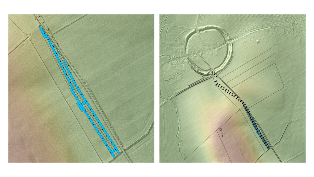
This is important as it will not only allow us to anchor the various elements of the site archive in space, but it also enables us to directly relate Keiller’s findings to the results of other archaeological fieldwork that has taken place since the 1930s.
Take for example the results of a geophysical survey (soil resistance) that was undertaken on the Avenue line in 2012 in advance of a campaign of excavation (2013 – 15). When we combine these results with the 1934 data we are immediately able to see how well the geophysical survey data has detected Keiller’s cuttings. We can do the same with the 2013-5 trenches and the features revealed by these more recent excavations.
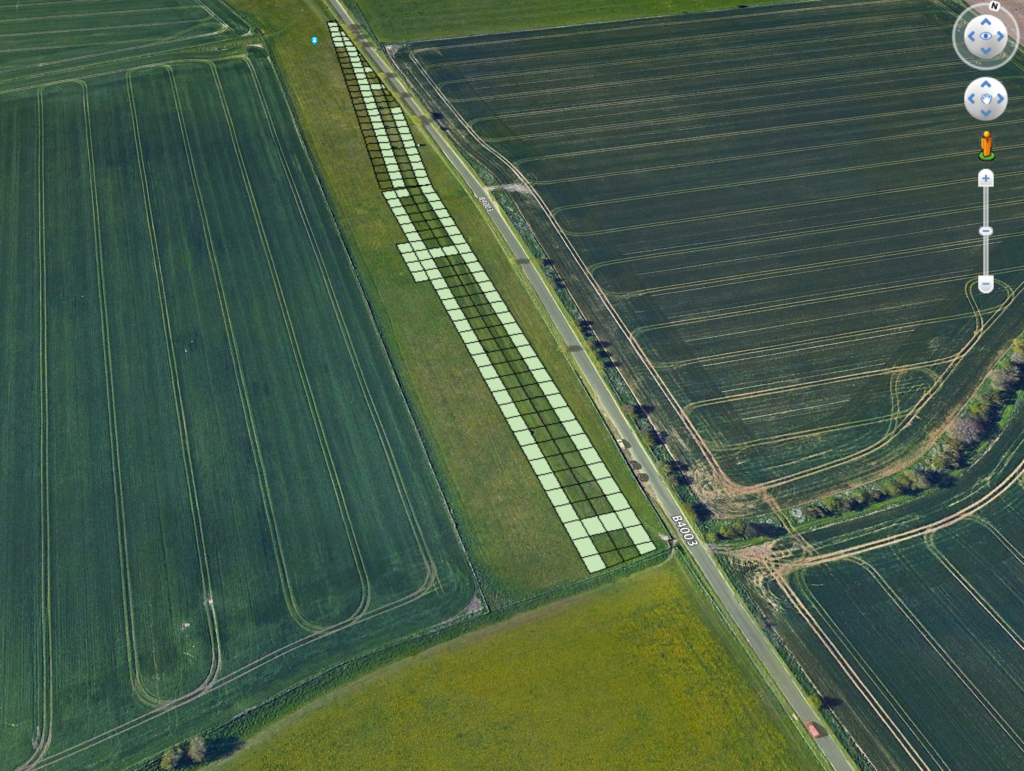
So far so good, but you do not need a GIS in order to view and access the 1934 cuttings. Everyone can make use of the newly located cuttings data using free software such as Google Earth. To that end I have created Google Earth compatible files that everyone can use in order to place Keiller’s 1934 cuttings back into the landscape.
I now need to find a way to share these files with you – so please watch this space!
That’s it for this part of the blog. Next will be 1935, when Keiller decided to take a very different approach to laying out his excavation cuttings; an approach that raises a new set of problems and challenges. See you then.